Knott County, Kentucky · Lost Communities
Before the Lake, There Was a Community
The Kentucky Communities Beneath Carr Creek Lake
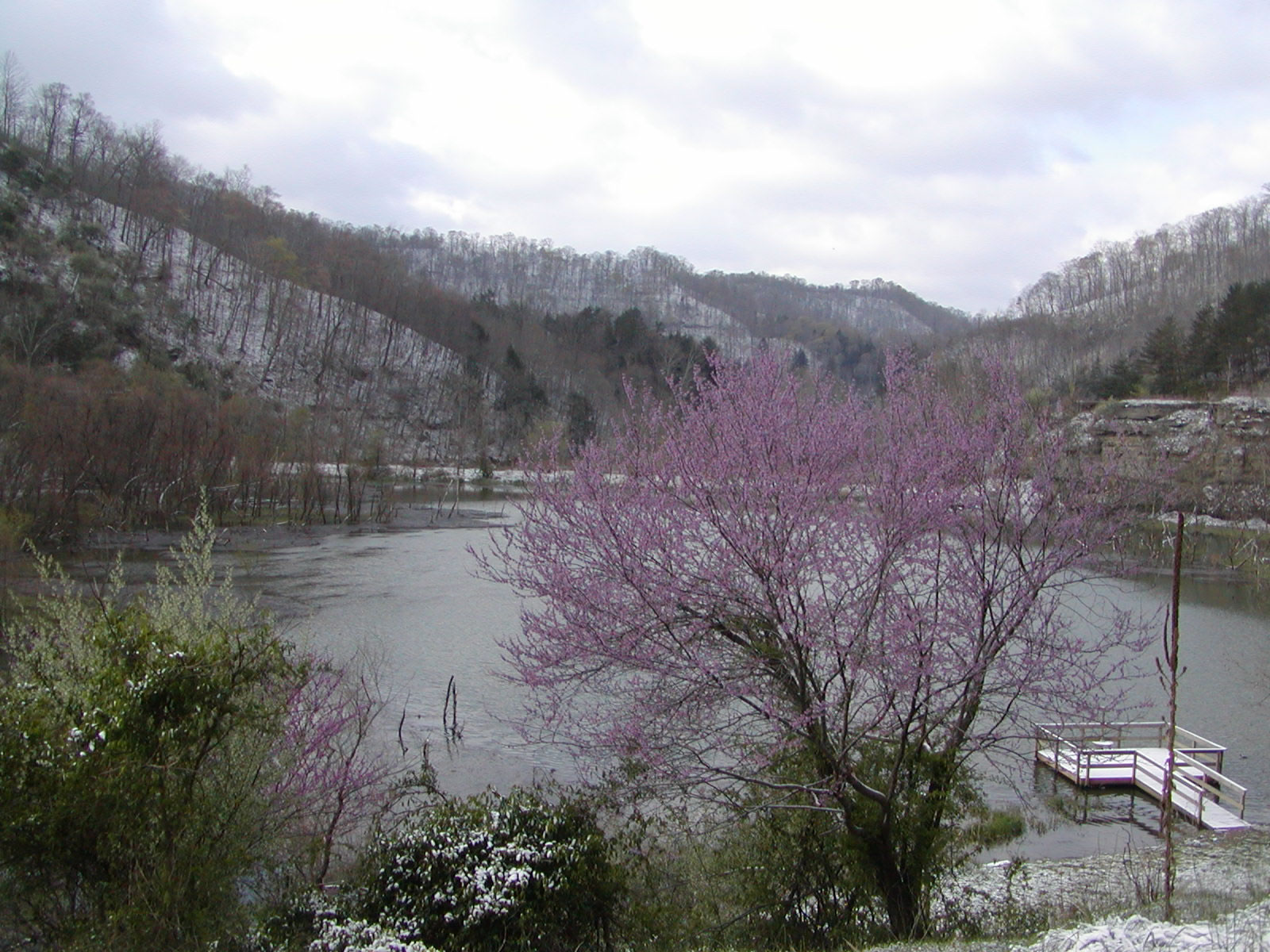
Today, Carr Creek Lake stretches through the mountains of Knott County as a place for fishing, boating and recreation.
But underneath and around that landscape is another story.
Before the reservoir was completed in 1976, families lived throughout the Carr Fork valley. There were homes, farms, stores, schools, churches, cemeteries and roads, in communities where generations of Eastern Kentuckians had built their lives.
Building the reservoir permanently changed that landscape.
This Small Town Story explores what was there before the water — and remembers the communities and people whose lives were changed when Carr Creek Lake was created.

Before the water
1976
“The reservoir was completed. The landscape changed forever.”
Chapter 1
Before the Lake
Carr Fork is a tributary of the North Fork of the Kentucky River, winding through the steep hollows of Knott County near the Letcher and Perry County lines. Before the dam, the valley floor held what flat land there was — and that is where people farmed, built homes, opened stores and ran the roads that tied the communities together.
Among the places connected to the Carr Fork valley are Cody, Smithboro (also written Smithsboro or Smiths Borough) and Littcarr (Litt Carr). Residents of Knott, Letcher and Perry counties who grew up in these communities later recorded their memories of the area before, during and after construction.
Chapter 2
Why Build a Lake Here?
The Carr Fork dam was designed, built and is still operated by the Louisville District of the U.S. Army Corps of Engineers. It sits 8.8 miles above the mouth of Carr Fork.
Its main job is flood control: holding back water so flood stages downstream along the North Fork of the Kentucky River stay lower. It is one unit of a larger plan for the Ohio River Basin. The lake also stores water and releases it in dry seasons to raise low stream flows and improve water quality downstream, and it was planned from the start as a public recreation area.
The project was completed in 1976, creating a reservoir of about 710 acres now called Carr Creek Lake.
Chapter 3
The Human Cost
In a 1973 Environmental Impact Study written when the project was about 75% complete, the Corps of Engineers recorded what the reservoir had already required.
- Families displaced
- 271
- Families displaced
- Businesses relocated
- 30
- Businesses relocated
- Schools
- 3
- Schools
- Churches
- 6
- Churches
- Cemeteries
- 19
- Cemeteries
- Miles of roads
- 22.2
- Miles of roads
- Miles of utilities
- 40
- Miles of utilities
Source: 1973 U.S. Army Corps of Engineers Environmental Impact Study, as quoted by the Carr Creek Oral History Project
Every one of those numbers was a household, a storefront, a classroom or a congregation — the places that had connected neighbors to the valley and to each other, some for generations.
Not everyone accepted the project quietly. A 1978 University of Kentucky research report studied a group of landowners who organized to resist construction of the reservoir, documenting how they built their strategy over time.
Chapter 4
Cody
Cody is one of the Carr Fork communities whose memory is preserved in the Carr Creek Oral History Project. People who grew up there were among those interviewed about life in the valley before the reservoir and about what the construction years were like.
We haven't yet verified the details of Cody's stores, service stations, bridges or school connections from a source we can cite, so we aren't describing them here. The best way to hear about Cody is from the people who lived there: the interview recordings are free to hear through Berea College.
Chapter 5
Smithboro
Smithboro — also spelled Smithsboro and Smiths Borough — appears again and again in the oral history collection.
Karen Jones Cody, co-owner and editor of the Troublesome Creek Times in Hindman, is a native of Smiths Borough with deep family roots there. Paul Collins, born in December 1954, grew up in Smithboro, where his mother's family lived; his father came from Irishman Creek, another area affected by the project. Both recorded their memories of the community in 2023.
Their interviews, and others, describe what everyday life was like before the reservoir and what happened as construction came through. We're letting those recordings speak for themselves rather than paraphrasing them loosely.
Chapter 6
The Cemeteries
Of all the figures in the Corps' report, one carries a particular weight: 19 cemeteries had to be relocated.
In the mountains, family cemeteries often sat on hillsides above the homeplace, where relatives could tend them. Relocation meant families facing the removal of parents, grandparents and children from ground they had chosen — and deciding, with the government, where they would rest instead.
The records we reviewed confirm that the relocations took place. They don't tell us where each cemetery was moved, and we won't guess. Families looking for specific graves should start with the Corps of Engineers' Louisville District and Knott County records.
Chapter 7
Then & Now
We haven't found a historic map of the pre-reservoir valley that we can legally reproduce and verify, so we won't draw one. Below, the Corps' 1974 project document — printed over the area's topography — sits beside a modern map of the lake.
Then: the Carr Fork Lake Project, 1974
Today: Carr Creek Lake
Chapter 8
The People Who Remember
In 2022 and 2023, folklorist Nicole Musgrave recorded 20 interviews with people connected to the Carr Creek communities, with support from the Kentucky Oral History Commission. The collection is preserved by Berea College Special Collections & Archives.
Most of the people interviewed were affected by the dislocation in some way. They hold different opinions about the lake and what it did for the region. Most remember what the area was like before it was built, and many have vivid memories of the construction itself.
Chapter 9
What's There Today?
Carr Creek Lake is part of modern Knott County, about 16 miles from Hazard and 18 miles from Whitesburg. It still does the flood-control work it was built for, and the Corps manages the land and water with the Commonwealth of Kentucky for wildlife, fishing and recreation, including boating and swimming.

When you visit, it's worth remembering the valley beneath the water — and the families who once called it home.
Sources & Further Reading
- Carr Creek Oral History Project — Berea College Special Collections & Archives
Collection description, 1973 impact figures and interview recordings.
- Carr Creek Oral History Project — NOAA Voices
Interviewee summaries and collection overview.
- Carr Creek Lake — U.S. Army Corps of Engineers, Louisville District
Location, authorization and purposes.
- Final Environmental Impact Statement: Carr Fork Lake Project (1974)
Public-domain Corps of Engineers document.
- Schweri & van Willigen, Organized Resistance to an Imposed Environmental Change (1978)
University of Kentucky / Kentucky Water Resources Research Institute.
Know someone who remembers?